
Sardon Ultra Marathon
In 2026! File-free start, new fast track!
Start 5.00 AM
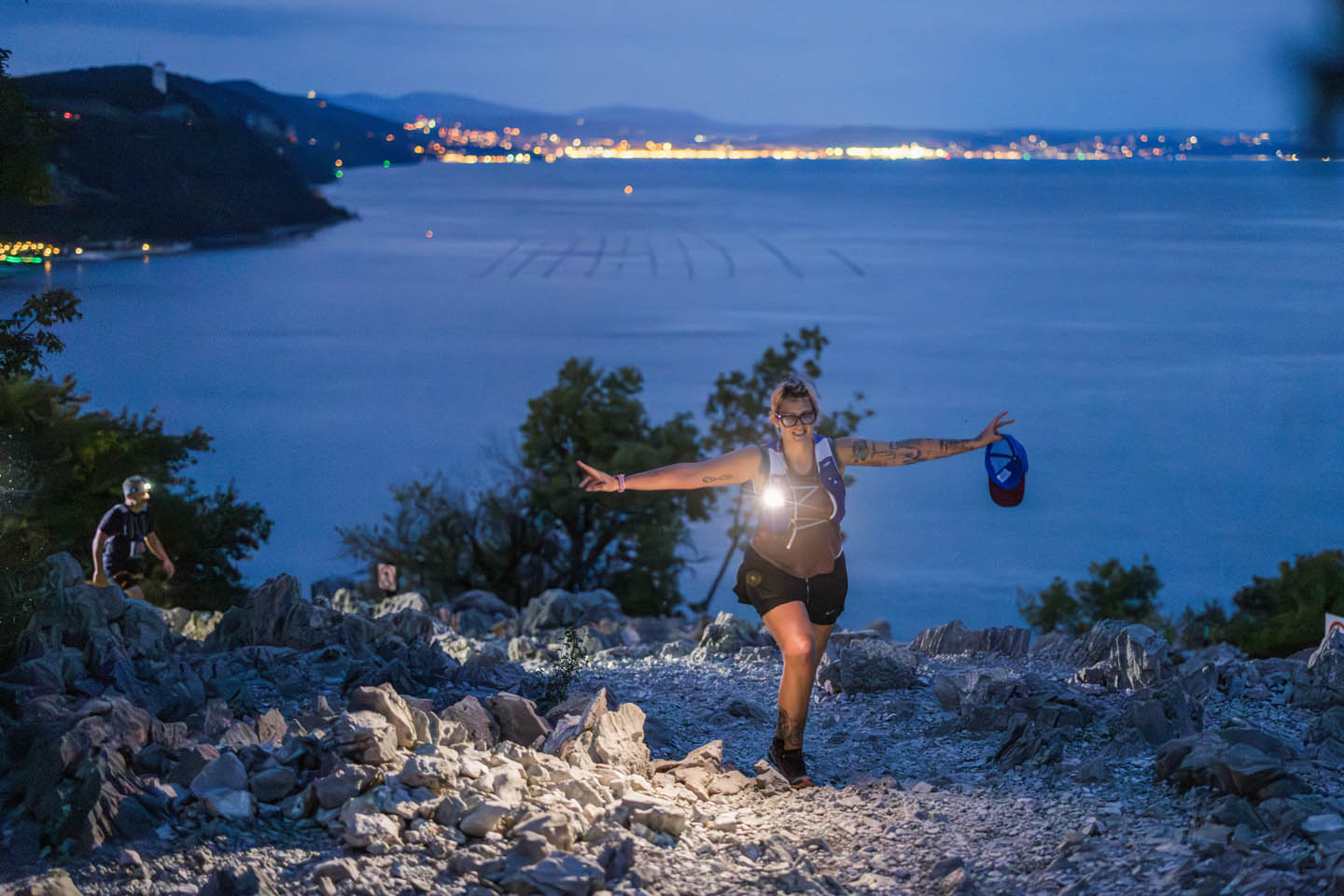
From this year, a departure in the cool of the morning, to then spend a day at the beach... and why not, even do an evening race afterwards!
Maximum time extended to 13 hours, to be able to walk it too!
Not enough 49 km.... you can add with the stage race!
Logistics
Additional information

 iTRA 2 · UTMB 50K
Time gates, aid stations and checkpoints
- Medeazza7.00
- Sela na Krasu9.15
- Malchina12.00
- Visogliano15.00
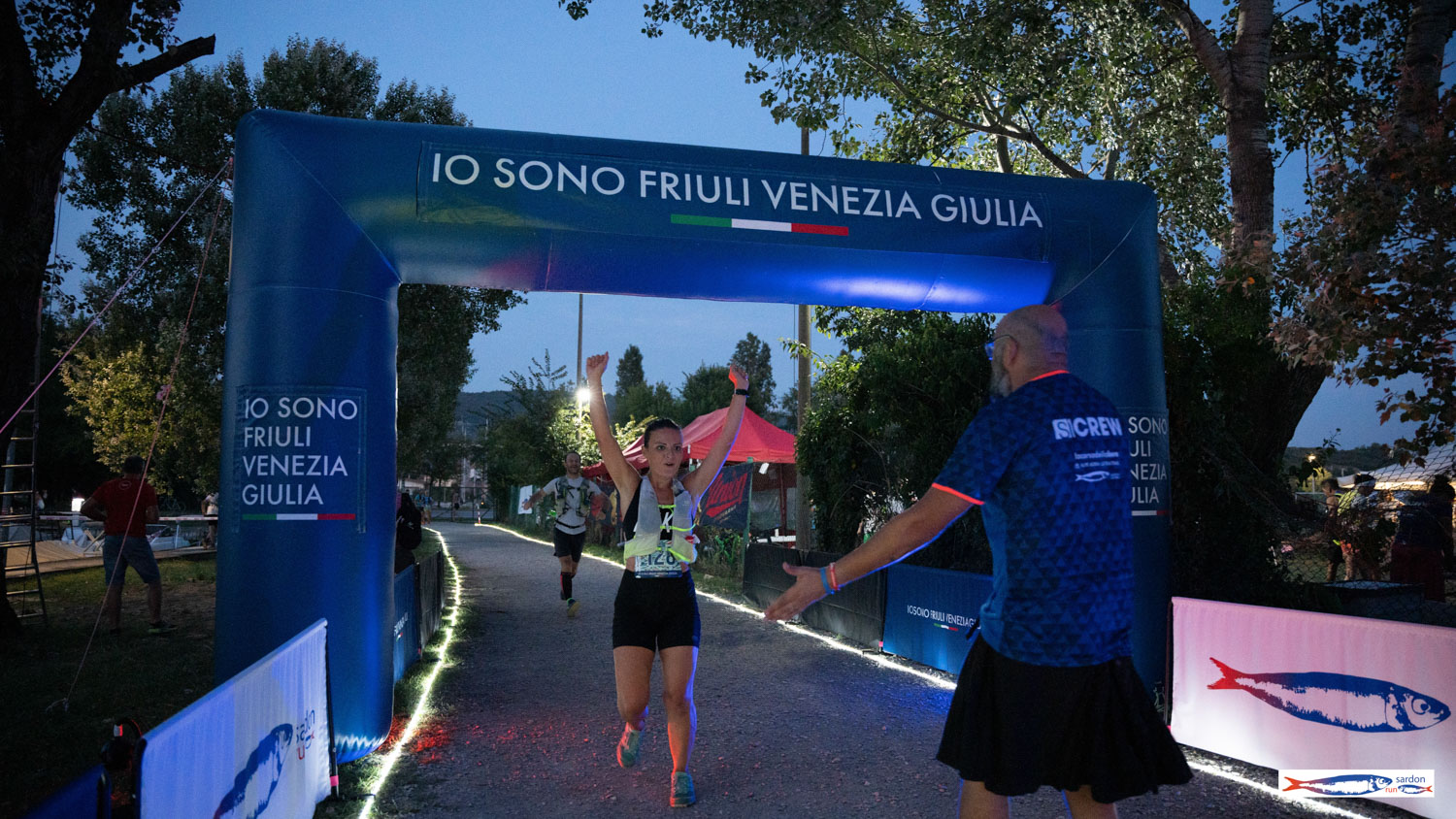
- Arrival — Isola del Villaggio del Pescatore
Compulsory material
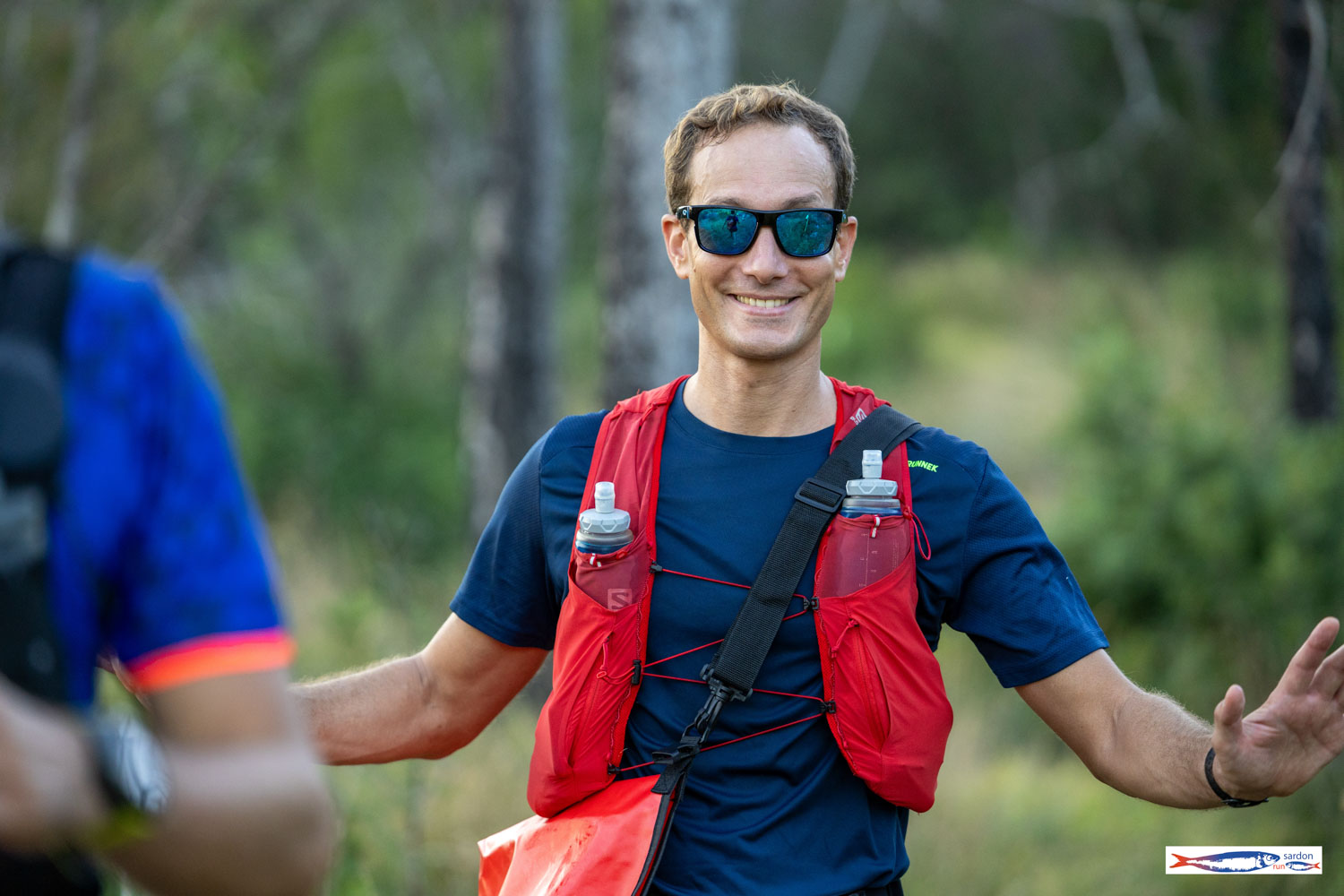
- Enough water and food to run at least 10 km
- Personal glass or cup for drinking at refreshments
- Charged mobile phone
Event programme
Registration fees
Awards ceremony
International rankings
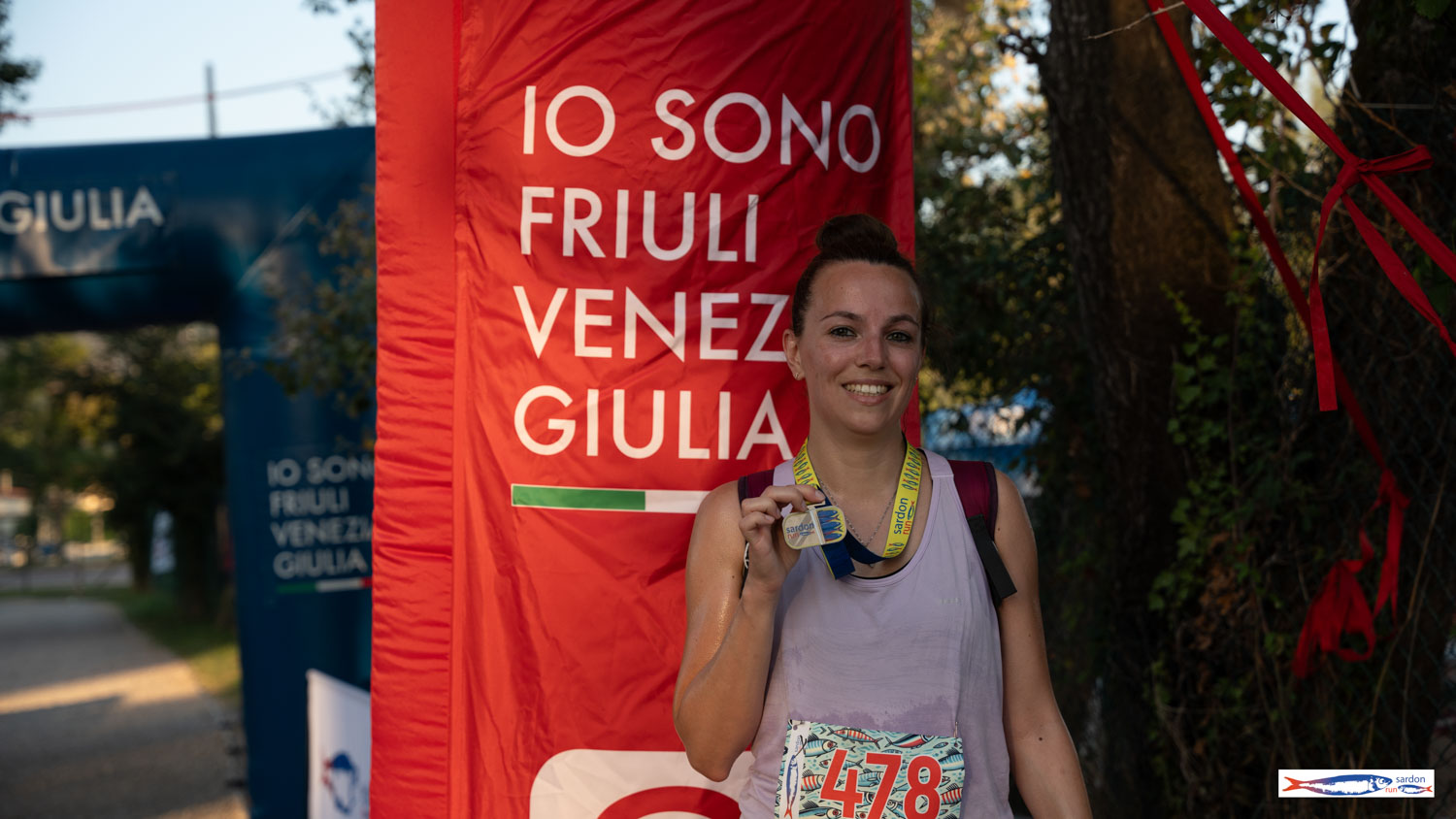
Race pack and medal
Discover the race pack & medalPasta Sardon Party
🏁 Sign up now ▼
The route
Sardon Ultra - 49 km - 1366 D+
From dawn to sea: Timavo, Ermada, Slovenian border, Rilke Trail
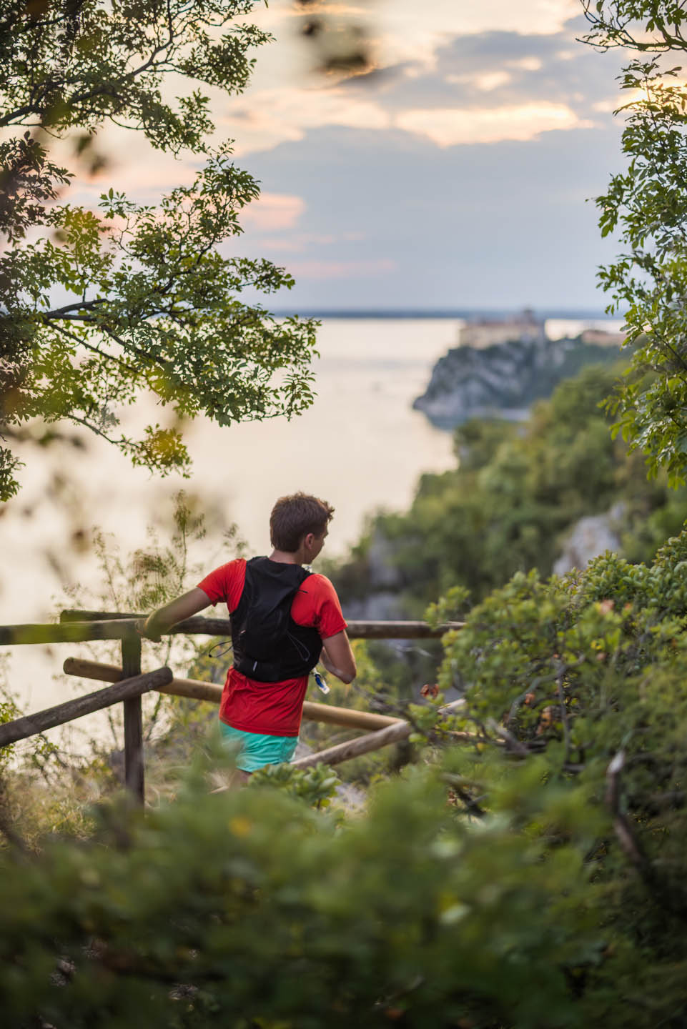
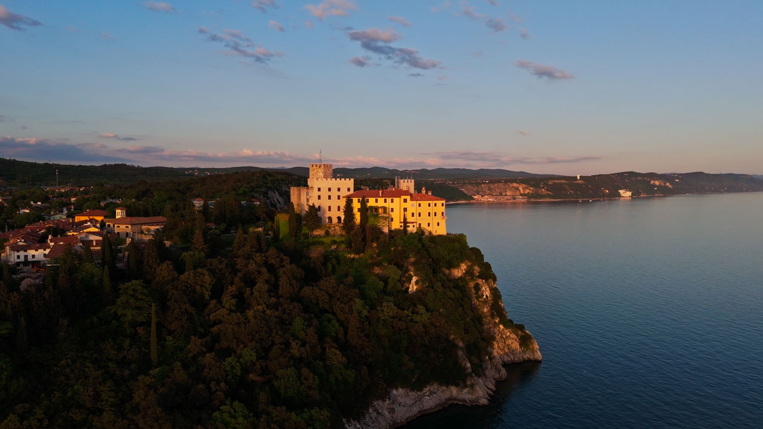
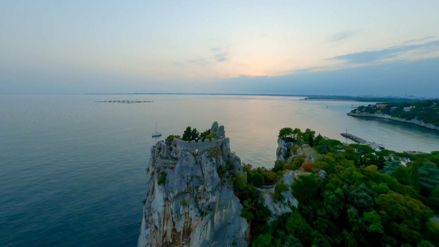
We set off at 5 a.m. from the Fisherman's Village Island, with the coolness of dawn and the outline of the castle of Duino-Devin silhouetted against the sky. The turn is immediately to the left and the first part of the race runs fast along the coastal road and then along the Timavo, in the direction of its mouths.
The Timavo is a river-mystery: it rises in Croatia, sinks into the Caves of St. Kanzian in Slovenia and runs almost forty kilometres into the belly of the earth before re-emerging here, at St. John of Duino - the river with the shortest mouth in Italy, just two kilometres into the Adriatic. Virgil mentioned it three times in his works, describing in the Aeneid a river that bursts through nine mouths with a loud roar.
The ascent to Mount Ermada and Kohišče Houses
At the resurgence of the Timavo River, the 49 km turn left. You cross the coastal road and attack the ascent of the Mount Ermadaa technical and steep traverse that requires a sure footing and good pace management. This year the track does not descend towards the railway: it continues to climb on a comfortable and fast road until reaching Homes Kohišče, the ancient village nestled in the Karst plateau. Here is the first refreshment point - the ancient dwellings of the Princes della Torre and Tasso, the dry stone walls, the silence of the Karst interrupted only by the wind.
The ridge trenches and the descent to Medeazza
From Kohišče continue along the ridge trenches of Mount Ermada. Running here means crossing a open-air museumtrenches dug into the limestone rock, casemates, artillery emplacements. The 323-metre Ermada was the southern defensive pivot of the entire Isonzo front during the Great War: thirty kilometres of trenches, armoured observation posts, natural caves adapted as shelters - the Hospital Cave, the Karl and Zita caves. A natural fortress that the Italian army never managed to conquer, despite the assaults of the Tenth and Eleventh Battles of the Isonzo.
We continue in the direction Medeazza-Medjevas, the small hamlet where important paths converge. It is here that the CAI path 79 - the Abraham Schmid Trail - which follows the Morgan Line, the provisional border drawn by the Anglo-Americans at the end of the Second World War. A steep descent, and then the most epic chapter of the race begins.
The big ring towards Slovenia
Here begins the most epic chapter of the Sardon Ultra Trail. A steep climb leads to the plateau, staying on the Italian side of the border with Slovenia, along the famous CAI path 79 - the Abramo Schmid Path. If CAI 3 runs along the Karst ridge in the province of Trieste-Trst, CAI 79 runs along the line that was the Morgan line, the provisional demarcation that became the state border with Yugoslavia with the Treaty of Paris in 1947. Along this line, the Allied patrols walked on a double karst stone kerb so as not to risk trespassing.
The path is named after Colonel Abraham Schmid, a native of Trentino and a Triestine by adoption. In the valley between Mount Ermada and Mount Gredina passed the Via Gemina, the Roman road that connected Aquileia to Ljubljana.
It goes up to Sela na Krasu, the northernmost point of the route, where refreshment arrives like an oasis. A sea view from up here too - because on the Karst the sea is never lost. From here we continue along cart tracks and fast roads. This is followed by a steep descent towards the valley, into the forest. You reach the refuge of Malchina, then Ceroglie - the village at the foot of Mount Ermada from where the Great War open-air museum trails start.
The border, the Fire Cave and the Ermada summit
We enter one of the most striking and unprecedented sections of the Sardon Run 2026. The trail follows the old route of the garnicciari - karst gravel collectors - running exactly on the border between Italy and Slovenia. Technically you are on Slovenian territory, but with one foot still in Italy: the border passes right under your soles.
You enter a new section of the Great War Park of Mount Ermada: a deep doline dotted with caves and Austro-Hungarian emplacements, where the absolute protagonist is the Fire Cave - an underground shelter used by troops during the conflict. An open-air museum where history can be touched.
We continue through this landscape of trenches and memory, through shady pine forests that provide coolness even in the middle of August, until we reach the summit of Mount Ermada. From up here the view repays all effort: to the north the Karst stretches towards Slovenia, to the west the Friulian plain fades into the horizon, to the south the Gulf of Trieste shimmers in the August sun.
The Descent and the Rilke Path
From Monte Ermada you plunge at full speed onto a paved forest road, in the shade of the pines. This is the section where the pass opens up and you fly: constant gradient, smooth terrain, legs spinning free after the fatigue of the trenches. Pure downhill adrenaline.
After finishing the asphalt, we continue on shady karst cart tracks, with a compact surface, perfect for running hard. Among the oaks and pines of the Karst we reach Visogliano-Vižovlje, last refreshment point before the finish.
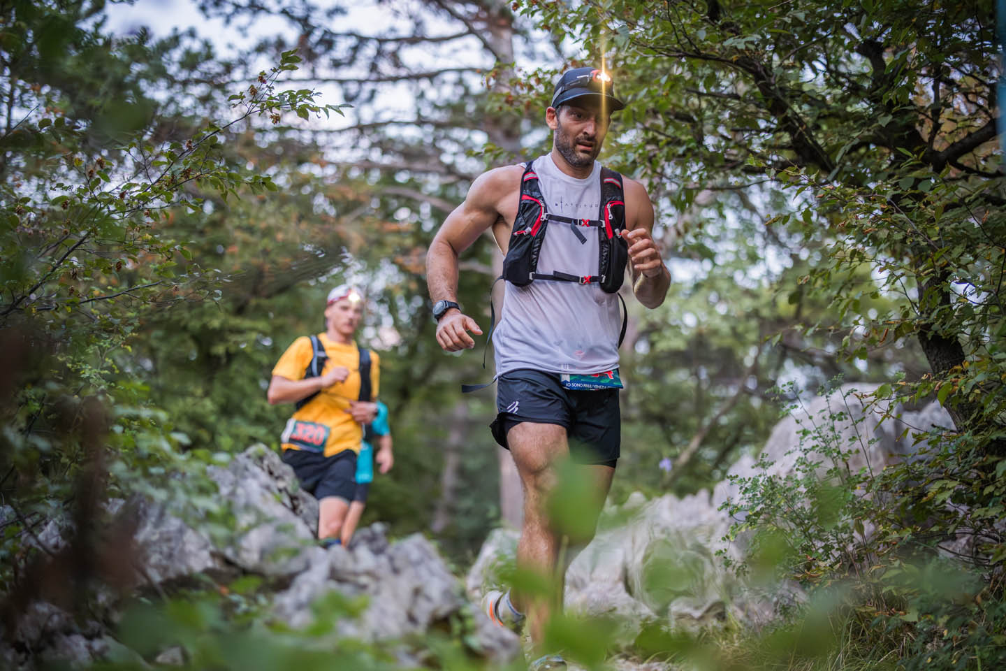
From here you descend towards Sistiana, then into the forest of the bay: a dense wood of holm oaks, where the light barely filters through. Steps, passages between the rocks, rapid descents through the undergrowth. Single track pure. The August heat stays above the tree canopy; down here one runs in the shade.
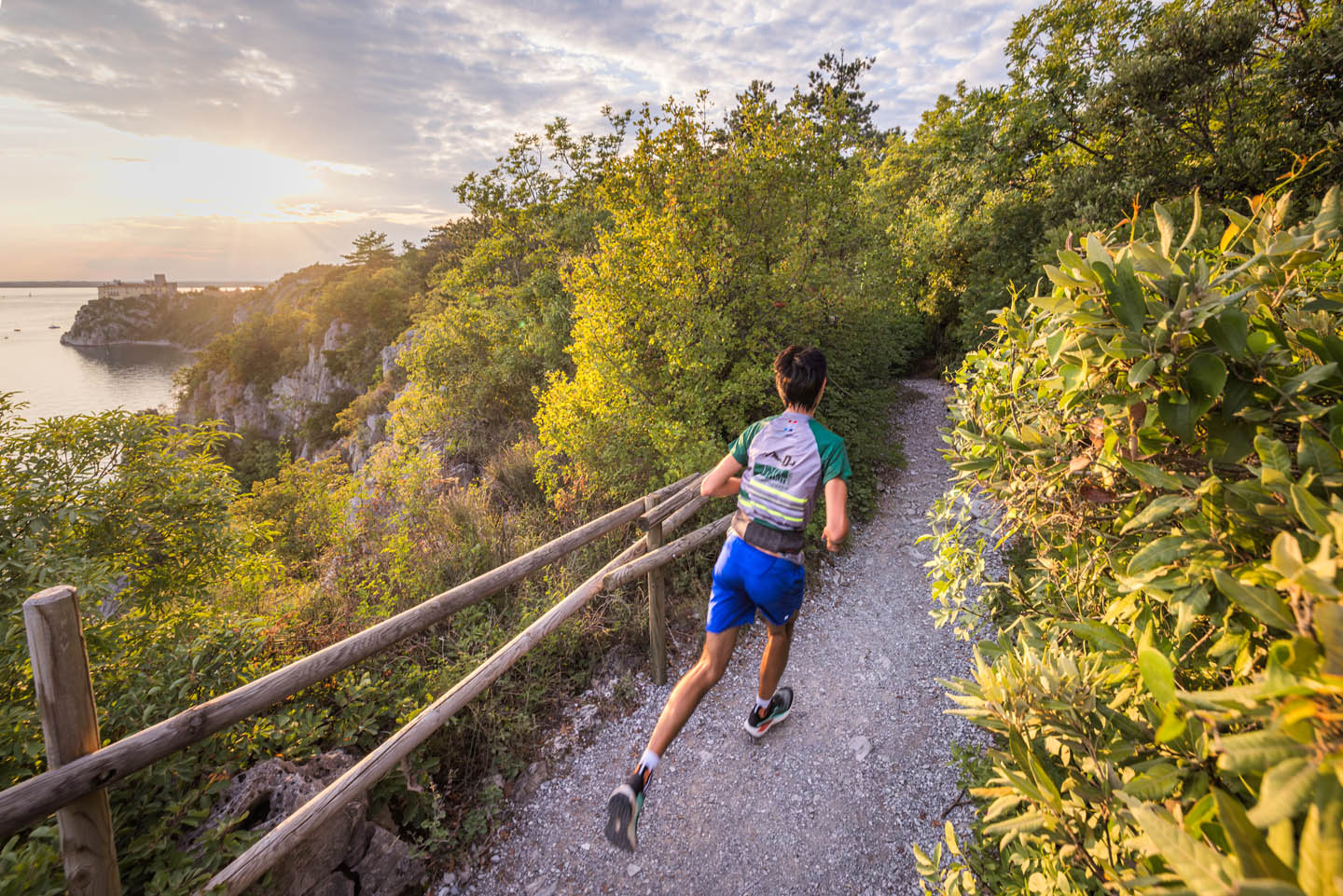
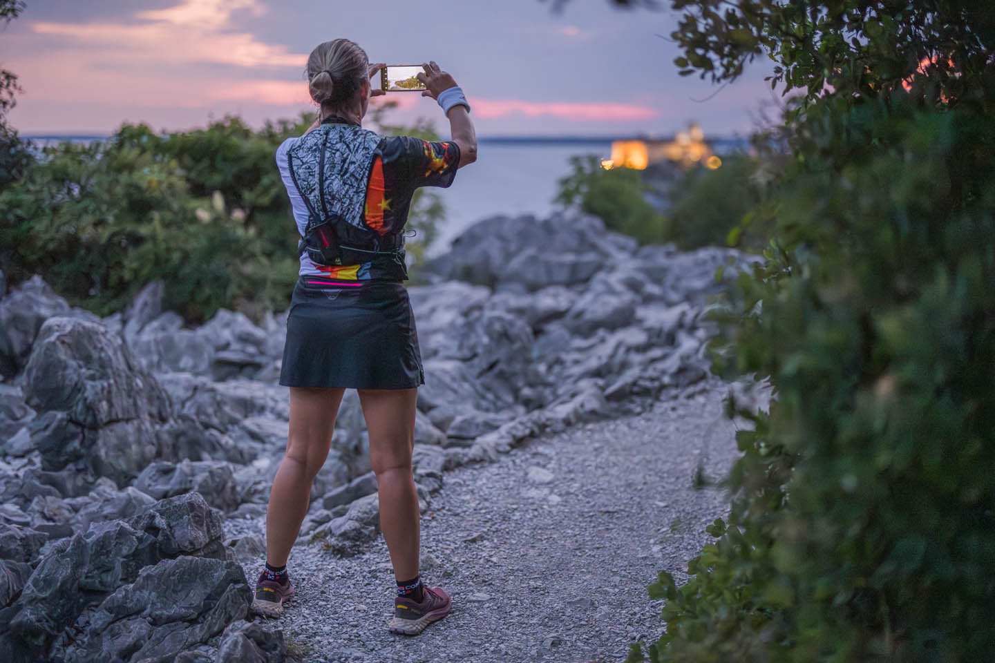
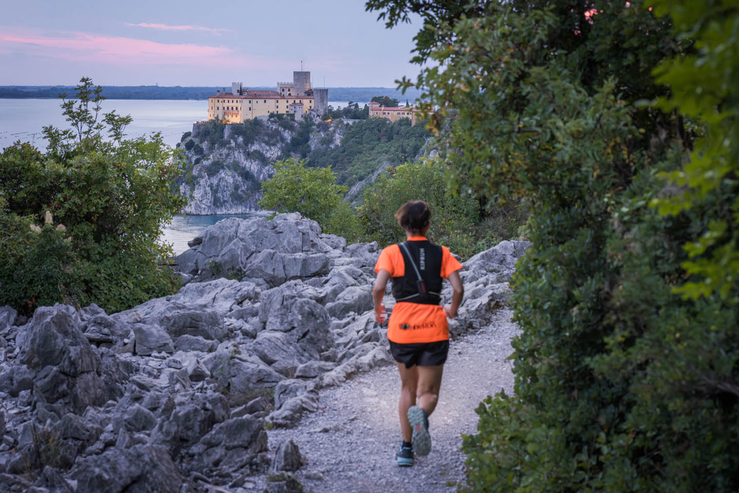
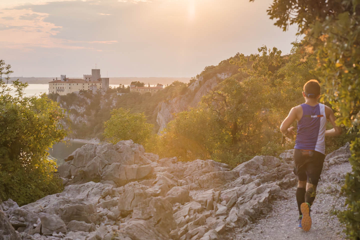
Coming out of the forest, we take the Rilke Path in the direction of the castle. This natural terrace suspended between sky and sea bears the name of Rainer Maria Rilke, the great Prague poet who between October 1911 and April 1912 stayed as a guest of Princess Maria von Thurn und Taxis in the castle of Duino-Devin. It was while walking along these cliffs that Rilke heard in the wind the words that would begin the Duine Elegies, one of the peaks of 20th century European poetry.
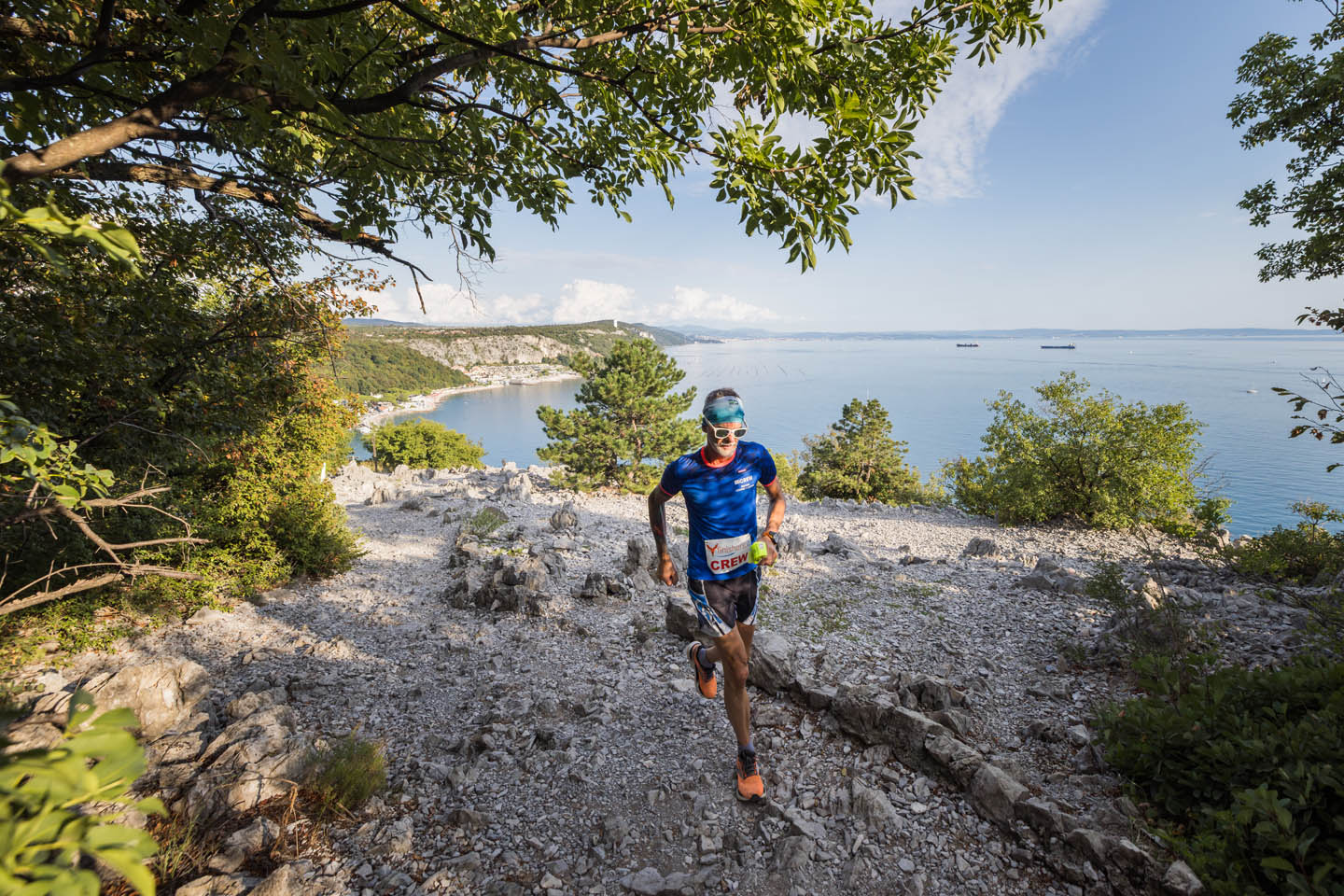
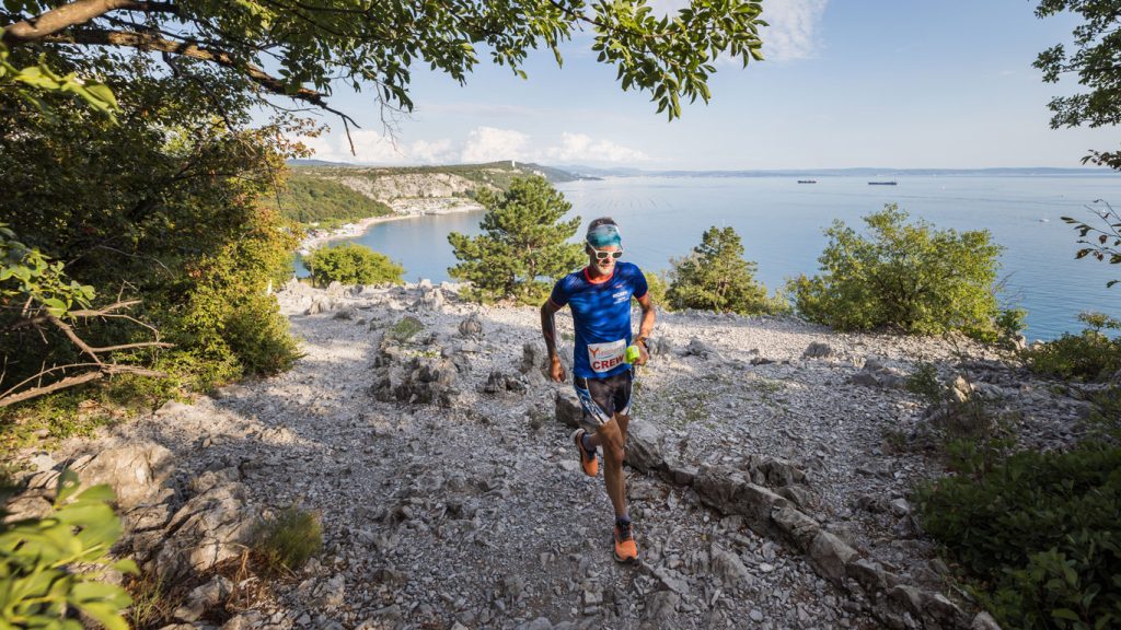
The path winds for over two kilometres overhanging the Adriatic Sea, through the Duino Cliffs Nature Reserve. The white limestone, furrowed by karst and shaped by the Bora, plunges sixty metres into the blue. Holm oaks and broom grow among the rocks, and rare species such as the magnificent algiroid, a lizard of Balkan origin, hide in the most sheltered spots. The bottom is technical - single track on limestone, exposed roots and short equipped passages - a coastal trail running which requires a sure footing and rewards those who can read the terrain.
The finale: Cernizza forest, trenches and at sea
The route crosses the Cernizza forest, then moves on to the Punta Bratina trenches, an identity passage of the Sardon Run. The walkways carved into the limestone rock, the posts that look out towards the sea. From this promontory, the view embraces the lagoon of Staranzano, the Fisherman's Village and the outline of the castle of Duino-Devin. Last effort before arrival on the island.
Want to know the places you'll run through? The Duino Karst
Sardon Run: the Karst trail, between sea and rock
Experience the journey in first person, from the cliffs of the Gulf of Trieste to the suspended paths of the Karst.
Bird's-eye view reconnaissance
Get a preview of the Sardon Ultra Marathon route from above.
By Car
Train & Bus
- Train Even closer to the railway station than in past editions.
- Bus Stop only 100 metres from the entrance to the event.
The Sardon Village
For trail runners: beaches, bathing establishments, scenic trails and the Rilke Trail on the doorstep. Trail running and holidays on the same km².
Medical certificate: competitive and non-competitive
A medical certificate is required for certain distances for two reasons: because it is required by law, but above all to protect your health, because the routes can be demanding and require good training and physical fitness.
Without a medical certificate
They are non-competitiveprovide for a order of arrival with time, but without ranking. The route can also be approached with a spirit playful-motor, without necessarily experiencing it competitively.
Only with a medical certificate
They are competitive: even if the maximum times allow walking, provide a Ranking valid for ITRA and UTMB Index. It is necessary to upload the medical certificate, except in the case of exemption:
- NOT you are an Italian citizen e
- NOT you belong to an Italian sports club recognised by CONI
You can participate in both modes. If not loaded the medical certificate, you can participate, but you will not enter the ranking.
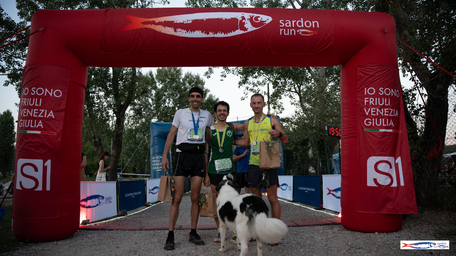
For all participants who finish are expected to medal: both competitive which non-competitive.